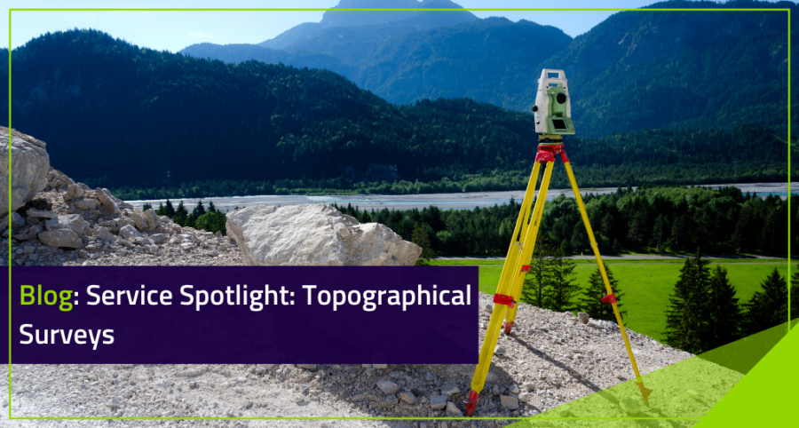

Service Spotlight: Topographical Surveys
Welcome to the second guide in our Spotlight Series. Today, we are going to dive into everything to do with Topographic Surveys – from what it is, to why they are needed and everything in-between.
What Does Topography Mean?
Topography is the study of the shape, characteristics, and features of areas of land. You can think of it as a way to describe the arrangement of all physical features found in a certain area – hence why a topographic survey involves mapping and plotting the position of all these features!
Topographic Surveying:
A Topographic Survey is a type of survey performed by a land surveyor that consists of measuring the position and height of all artificial and natural topographic features on a site. Topographic surveys are used by architects, engineers, and site managers to help visualize their site and ensure development can continue in a timely and safe manner.
Benefits Include:
- Provides a detailed and accurate overview of boundaries and territories, whilst reducing the risk of expensive and unforeseen problems.
- Can reveal features or issues that may have otherwise been hidden or unidentifiable on first look at a property.
- Provides data to ensure that the site has been built in line with the plans that have been proposed.
- Gives engineers, architects, and workers the information they need to create designs in line with proposed specifications.
Topographic features can be both natural and artificial. Natural features include woodland, ponds, lakes, slopes, hills, and almost any other feature that affects the layout of the land in some shape or form. Artificial features, as you can probably guess, include anything that has been artificially placed on a site. This could be; building remains, hedges, roads, paths, street furniture, electric, gas, and water lines, though the list definitely doesn’t end there!
So What Is A Topographical Survey?
In simple terms, a Topographic Survey ensures that the structure being built is suitable for the land it is being built on. A topographic survey is usually presented as a scaled drawing, including all features such as the property, land features, and physical boundary details.
Topographic Surveys have become an essential tool in a surveyor’s kit and play a big role in the building and construction industry – particularly when the site or land being worked on poses various challenges, such as; steep hills, existing structures, or areas with large amounts of fauna.
On very small domestic projects, a topographic survey isn’t always necessary. However, for most large-scale industrial projects or bigger domestic projects, a topographic survey is one of the key starting points whenever land is being developed or redeveloped.


How Do Topographic Surveys Work?
A Topographic Survey is conducted by plotting or recording coordinates and height data for a specified area, as well as all-natural and man-made land features found on a site.
Depending on the size of the site being surveyed, a land surveyor or team of land surveyors will set up their total stations and GPS units – plotting and measuring the land one point at a time.
At a high level, the typical topographic process includes:
1) Initially we will gather information about the site, for example, the level of detail required, accuracy, and size of the geographical area.
2) After this, we will schedule a time for our surveyors to visit your site and start collecting data.
3) A member or members of the Target Team will head to your site and start collecting data using tools such as total stations and GPS units.
4) Once we have gathered all the data, we will process it and convert it into the deliverables you require.
The information gathered from the survey can be used to create a wide array of reports and maps, such as height maps, contour maps, or more complex terrain models of the surveyed area.
Why Do I Need A Topographical Survey?
On very small domestic projects, a topographic survey isn’t always necessary. However, for most large scale industrial projects or bigger domestic projects, a topographic survey is considered a key starting point whenever land is being developed or redeveloped.
A topographic survey is usually used as a basis for fundamental design decisions, which is why they are usually the first port of call on any construction project. Like with anything in life, information is power!
The more an architect or engineer knows about a site, the more likely they are to produce accurate, detailed and well-designed construction drawings. The data gathered from topographic surveys can also be used to inform the development of roads and land boundaries, as well as property.
As such, a thorough topographical survey is critical for both the planning and construction of a property or structure. Any features or characteristics that are not surveyed have the potential to cause costly delays throughout the whole lifecycle of a development
Like a vast majority of surveying services, a topographic survey almost acts as a form of insurance and investment – not only can a Topographic Survey mitigate risk, but it can also reduce the chance of costly mistakes – saving you money and time in the long run!
Conclusion
Want to learn more about our surveying services such as our Measured Building Surveys, Topographical Surveys, Utility Surveys, BIM / Revit Models, 3D Scanning & point cloud, Setting Out, Drone Surveys, Boundary Disputes or Ecology Surveys?
Reach out today at mail@targetsurveys.co.uk or on 01926 313419. A member of our team would be happy to talk with you to discuss your individual requirements and needs. You can also reach out to us on Facebook, Instagram or LinkedIn!
We look forward to hearing from you!
Team Target


